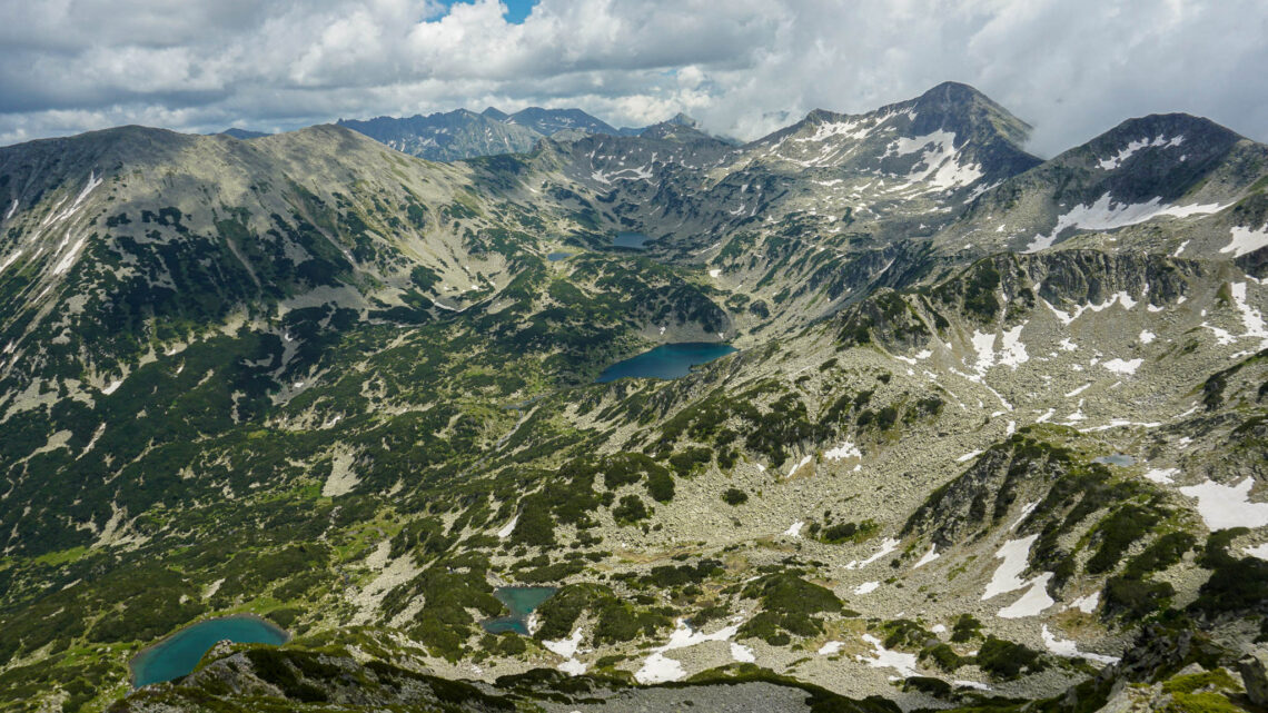
Hiking in Pirin National Park
Last Updated on September 14, 2021 by Polly Dimitrova
Bulgaria is a relatively small country with an area of only 111 000 square km. Even still one third of the territory is Even though Bulgaria is a relatively small country with an area of only 111,000 square km (or 42,855 square miles), one third of its territory is beautiful mountainous terrain covered by 43 mountains each with its own unique relief, nature, flora, and fauna. These mountain ranges find themselves each included in one of Bulgaria’s three national parks – Rila, Central Balkan and Pirin National Park. Pirin National Park is certainly the most adventurous and thrilling to explore. The park offers numerous hiking routes with different difficulty levels. Regardless if you are a professional climber or an amateur hiker, there is something for everyone.
I left part of my heart in between the stunning mountain scenes and the adventurous paths. Every summer now, I have spent at least a week hiking in Pirin National Park. In this article, I am sharing a bit of information on the best trails in Pirin Mountains.
First things first. What should you know before you head to Bulgaria and the Pirin Mountains?
And here we are – my top choices for the best hikes in Pirin Mountains.
Pirin National Park – Location
Pirin National Park covers the larger part of the Pirin Mountain range located at the southwestern corner of the country. If you are looking for a starting point I strongly recommend Bansko – the most popular ski resort in Bulgaria. Click here to learn more about Bansko and what to do there during the summer.
Bansko is located only 150 km away from the capital city Sofia and there are various ways to get there – by car, by bus and even by train. Click here to read more about the train ride to Bansko.
Before You Go
This is a National Park of great importance for the country. In 1983 it was added to the UNESCO World Heritage Sites. The territory that Pirin National Park covers has been expanded a few times to ensure that the rich ecosystems, natural landscapes and fauna and flora are all preserved.
Please remember that any National Park is a treasure and we should not leave anything behind except happy memories. We can enjoy and admire the nature and its phenomena while still conserving it and leaving it unspoiled.
Hiking Trails Starting from Vihren Hut
GPS Coordinates for Vihren Hut: 41.756715, 23.416217
Vihren Peak
Distance: 7.5 km (4.6 miles) roundtrip
Elevation Gain: 960 meters (3,150 feet)
Duration: 7 hours round trip
Difficulty: Moderate
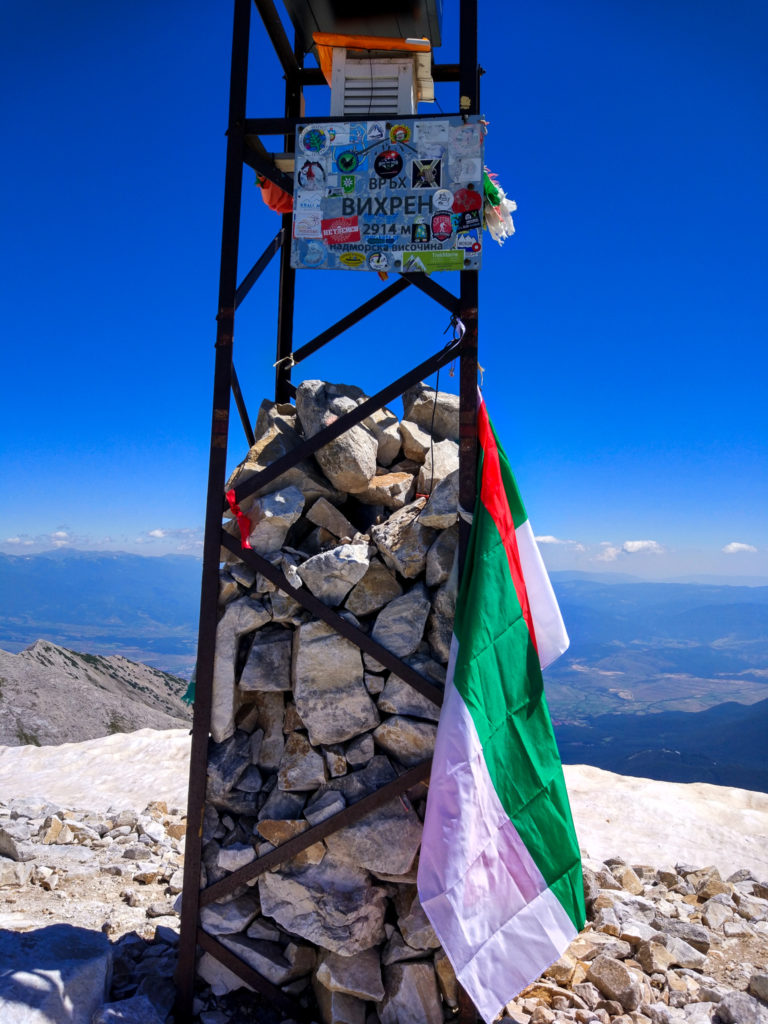
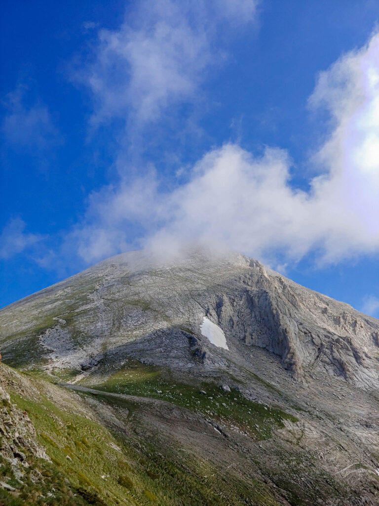
Vihren is the highest peak in Pirin Mountains and the second highest in Bulgaria reaching 2,914 metres. As a 7.5 km hike and moderate difficulty, I would not recommend this trail if you are not well prepared. If you already have experience with hiking and feel up to the task, it is totally worth it!
I suggest taking the main trail, which starts from Vihren Hut, easiest accessed from the mountain roads starting in Bansko. This is the southern approach and takes approximately 3 hours to reach the top. You can get to Vihren Hut by car and leave it at the free parking just in front of the chalet.
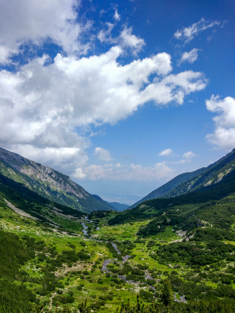
The first half of the trail is not very difficult as long as you keep a good steady pace. Keep in mind that the terrain is rocky with no forest and shade on the way to the top, though this allows the spectacular views of the steep mountain ranges surrounding you to keep you company along the way.
The last part before the summit, starting from Kabata Saddle, is the most challenging section as the trail disappears in between the rocks and everyone finds their way upward as they feel best.
The views from the peak are truly spectacular. Make sure that you spend a good few minutes in silence just admiring the beautiful scenery. On a day with good weather, you will not only be able to see the other incredible mountain summits of Pirin Mountains but the Rila Mountains as well.
If you want to challenge yourself and get some adrenaline rush, choose the Northern trail for the way down.
Muratovo Lake
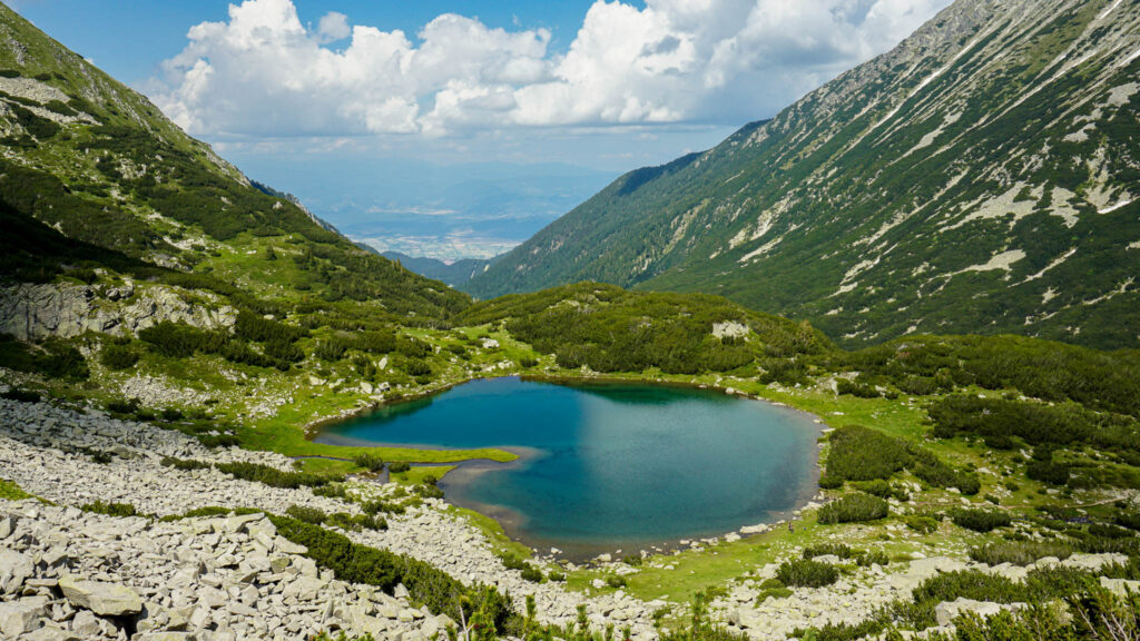
The hike to Muratovo Lake is one of the easiest and most beautiful hiking trails in Pirin National Park. It takes approximately one hour from Vihren Hut, but I strongly recommend taking this route slow in order to be able to enjoy the spectacular views along the way. If you are into photography, you will certainly want to take some photos as you are hiking up.
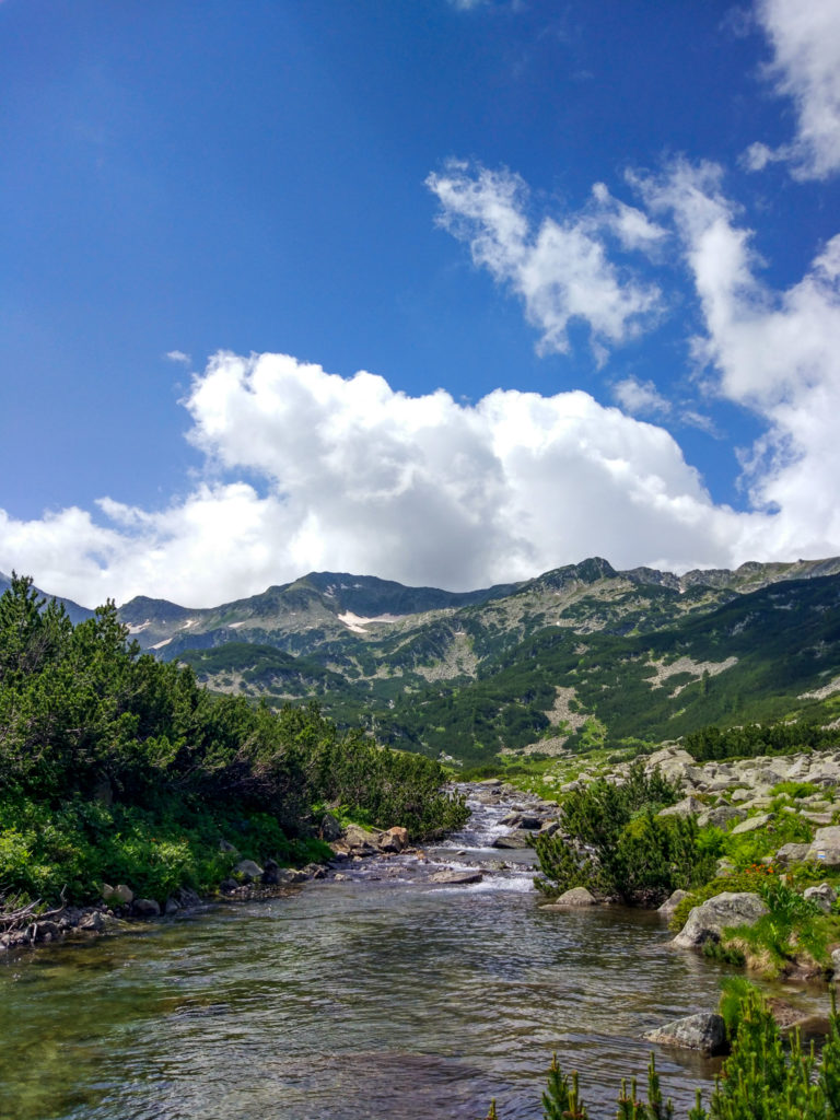
This is a relatively flat and wide mountain route that follows along the small, speedy river. The steep part of the hike is at the end just before you reach the beautiful lake at 2230 meters. You will be impressed even with the first glance of the lake. The reflection of the surrounding mountains in the crystal clear water is truly an outstanding view.
The green grass, the fresh air and the ice-cold water make this the perfect spot to take a long break.
Muratov Peak
Distance: 7 km (4.35 miles) roundtrip
Elevation Gain: 700 meters (2,297 feet)
Duration: 6 hours round trip
Difficulty: Moderate / Strenuous
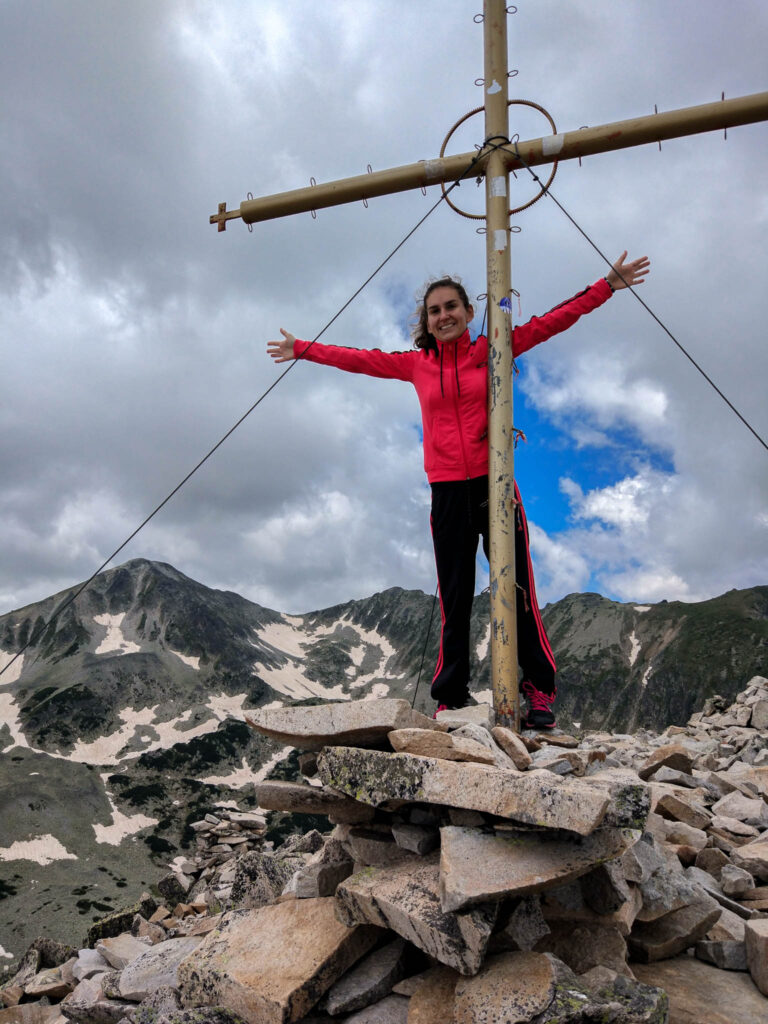
Another option for the more adventurous hikers is to continue hiking up to the peak after you have taken a long, well-deserved break by Muratovo Lake. Your aim will be one of the less popular, but still absolutely incredible summits in Pirin Mountains. Sitting at 2,669 meters, Muratov Peak is known to offer some of the most breathtaking views across the entire mountain range.
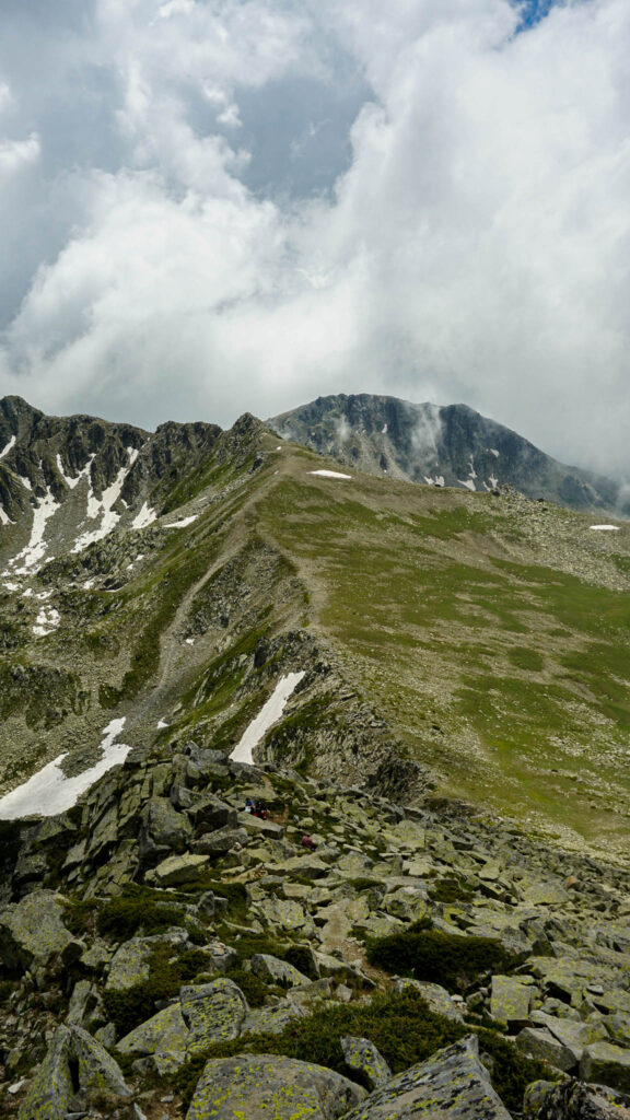
The second part of the trail is more of a strenuous hike as you find yourself continuously ascending, all while trying to find the path in between the large, glacially sculpted, moraine rocks.
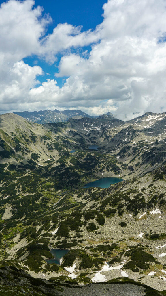
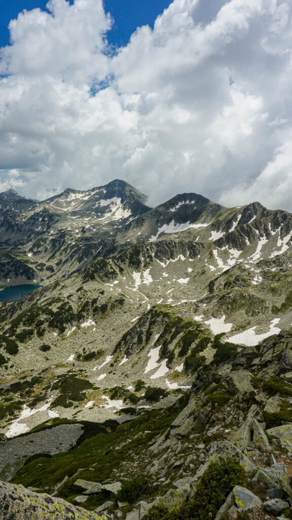
From the top, an incredible panorama will unfold before your eyes. Crystal clear glacial lakes lay beneath your legs, surrounded by steep mountain ridges and summits still covered with patches of snow sparkling under the sun. It is truly a breathtaking view!
In good weather, you might be able to notice Vihren Summit, peeking behind the fluffy clouds in the distance. If windy and fully overcast, though, it can get a bit dangerous, as you might lose sight of the hiking path on the way down. Always be cautious of the weather conditions when in the mountains.
Koncheto Ridge
Distance: 11 km (6.84 miles) roundtrip
Elevation Gain: 900 meters (2,953 feet)
Duration: 8 – 9 hours round trip
Difficulty: Extreme
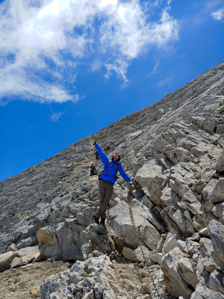
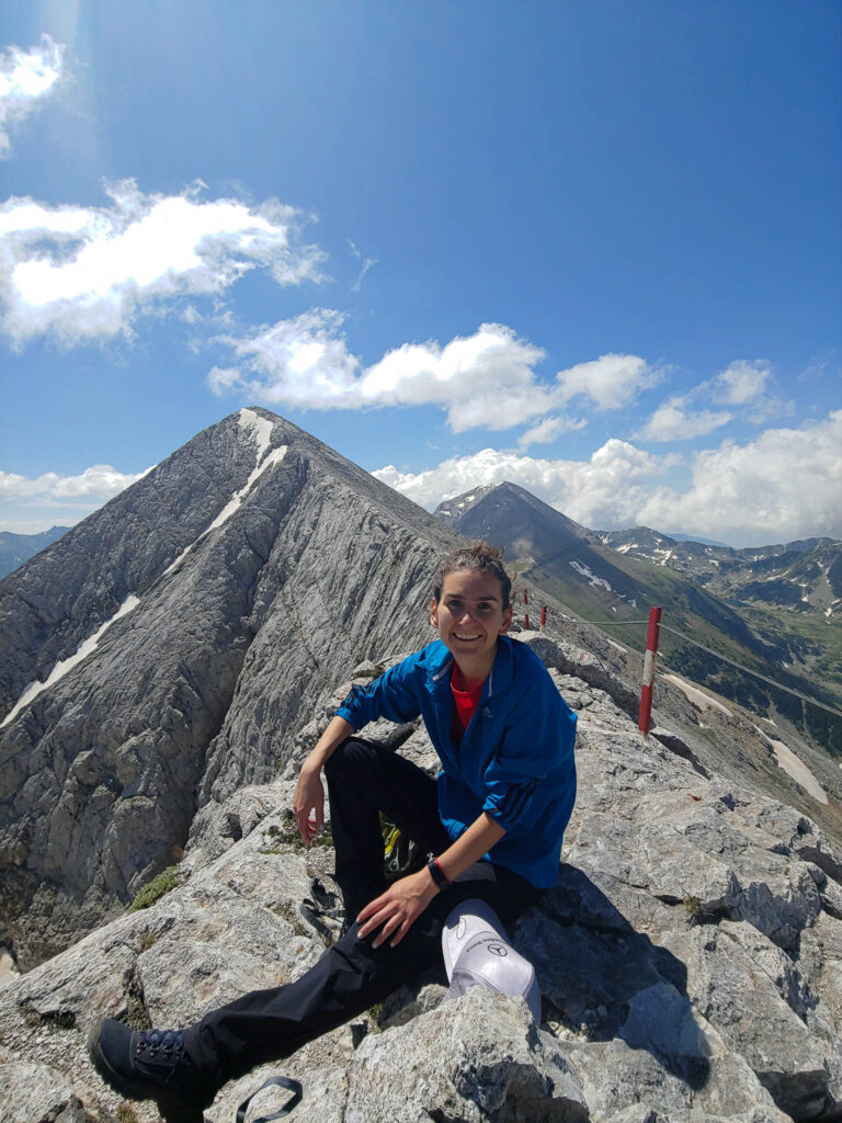
The 11 km hiking trail to Koncheto Ridge is not for the faint of heart. I must admit I have been dreaming of hiking to Koncheto Ridge since my very first visit to Pirin National Park! It is widely known as one of the most extreme, adventurous and dangerous hiking trails in all of Bulgaria. The ridge’s name translates to “the little horse” from Bulgarian as it is so narrow that you can “ride” it instead of standing on top of it. While the rim is generally about 1-2 meters wide, it can get as narrow as half of a meter or even less! Not to worry though as there is a large, steel chain driven into the mountain to help you along!
Not only is crossing the ridge a challenge, but also getting there. The hike is long and strenuous and requires a good amount of preparation. The trail starts from Vihren Hut and during the first 20 minutes you follow the same path towards Vihren Peak. At the little rapid stream, however, you will have to take a right and continue toward the Dzhamdzhiev Rid. Keep along the path around the rid and up the North side of Vihren and you will have Koncheto in your sights!
Koncheto Ridge definitely offers some incredible scenery once you stand on top of it, however, that is not what attracts enthusiasts there. It is the experience, the adrenaline rush, the racing heart, and the ultimate feeling of freedom. If you are prepared for the challenge, Koncheto Ridge is awaiting you. This will be a once-in-a-lifetime experience you will definitely remember!
Hiking Trails Starting from Bezbog Hut
GPS Coordinates for Bezbog Hut: 41.7344291, 23.5248258
Bezbog Hut and Lake
If you are looking to spend a relaxing day in nature admiring the beautiful mountainous scenery of Pirin National Park, you can just pay a visit to Bezbog Hut and Lake. You can easily get to Bezbog Hut by taking the chairlift from Gotse Delchev Hut located just south of Dobrinishte, a small town down the road from Bansko. It runs daily from 08:30 – 17:00 in the summer with a roundtrip ticket price of 20 lv per adult. The lift will take you approximately 30 minutes to get to Bezbog Hut, however, if hiking is more your style, you can follow the hiking trail up which takes about 2 hours. Keep in mind that each year the lift is closed for two weeks for maintenance reasons. During these times, you can get an off-roading adventure by jeep for the same cost per person.
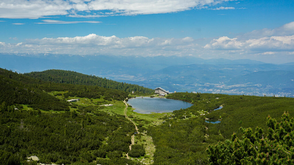
Visitors will find the remarkable namesake lake right next to Bezbog Chalet. Located at 2,239 meters, the glacial lake covers an area of 19 acres and is 7 meters deep. You can grab some food and drinks from the chalet and easily spend a few hours relaxing by the peaceful azure water. If you do not mind going on a little hike, it is definitely worth following the path running along the lake and then climbing up the steep rocky terrain. Do not give up, though, as once you reach the top you will be treated to the most breathtaking view of the picturesque glacial lake quietly nestled beneath the alpine chalet. The endless greenery beautifully blends in with the smooth blue surface of the lake to make the views extra special.
Note! This small hike is actually the beginning of 3 spectacular hikes including 2 incredible peaks and 1 fantastic glacier-fed lake with waterfalls! Keep reading below for Bezbog Peak, Polezhan Peak, and Popovo Lake Trail!
Bezbog Peak
Distance: 5.5 km (3.5 miles) roundtrip
Elevation Gain: 405 meters (1,329 feet)
Duration: 4 hours round trip
Difficulty: Moderate
Located at just 2645 meters, Bezbog Peak is easily reachable making it perfect for a family day in Pirin mountains.
Both Polezhan and Bezbog Peak follow the same route continuing from the hike from the lake. This trail is distinguished with yellow trail marks as mentioned previously. The difference here is that once you reach the saddle connecting the two summits, you will have to take the trail to the right for Bezbog Peak. The climb from here to the top should take 20 – 30 minutes depending on your pace. It is only the final approach which might seem a bit more difficult as the final few meters are covered with granite rocks.
But keep going and you will reach the summit and be able to truly soak in the scenery. The entire route will only take you 4 hours there and back. It should be noted of course that this part of the Pirin Mountains is often cloudier and windier. Be prepared with a few layers of warmer clothes since the weather can change dramatically in just a few minutes.
Polezhan Peak
Distance: 8 km (5 miles) roundtrip
Elevation Gain: 610 meters (2,001 feet)
Duration: 6 hours round trip
Difficulty: Moderate/Strenuous
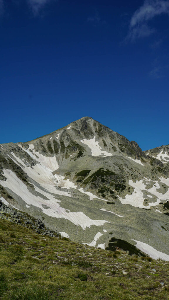
With an altitude of 2854 meters, Polezhan Peak is the fourth-highest summit in Pirin Mountains. The hiking trail for this granite peak also continues from Bezbog Hut, but it is a bit more challenging and difficult compared to Bezbog Peak.
While the trail to Polezhan Peak starts with the same route as for Bezbog Peak, it splits at the saddle connecting the two peaks. From the ridge, you will see Polezhan to the left and Bezbog to the right. After you have crossed the saddle, you will have to follow the narrow path – that is where the real challenge begins. This part of the trail is definitely more strenuous; thankfully you will be able to admire the awe-inspiring mountain views.
The sheer granite peaks in the distance are hidden behind layers of fluffy and white clouds; small glacial lakes lie underneath the alpine summits. The steep rocky terrain is covered with snow patches all year round. Once you reach the top, take a minute to immerse yourselves into the peacefulness and tranquility of Pirin National Park.
Note: If you are up for the challenge, you can definitely combine hiking to Bezbog and Polezhan Peak in one day. If this is your plan for the day, I suggest hiking all the way up to Polezhan Peak first and then taking the left path towards Bezbog once you reach the saddle connecting the two summits. One thing to keep in mind is that the lift to go back to Gotse Delchev Hut runs only until 17:00. It is advisable to be back by no later than 16:30 to make sure you can get the last chair lift unless you are planning on staying overnight at Bezbog Chalet.
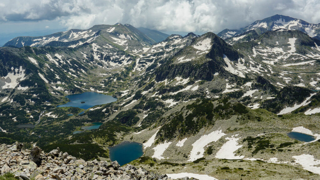
Popovo Lake
If you are looking for an easy hike, aiming to relax and enjoy the hot summer days, I would suggest the trail to Popovo Lake. It is also suitable for beginners and children and only takes approximately 3 hours roundtrip.
This glacial lake is the largest and deepest in all of the Pirin Mountains. Nestled at the base of the Popovski Cirque and guarded by some of the highest and most challenging peaks in the range, the lake is a popular place for summer hikes. Popovo Lake has an irregular pentagon shape and a tiny round island in the middle of the lake that makes it easily recognizable even from afar.
The views of the lake’s crystal clear water, combined with the dwarf pine trees, interesting rock formations and snow-capped mountain tops can take your breath away as you enjoy the meandering hour and a half trail.
On one of our visits to Popovo Lake, I decided to go slightly off the beaten path and accidentally found a secret spot just next to the lake. If you are an explorer always looking for something different and unique, check this out:
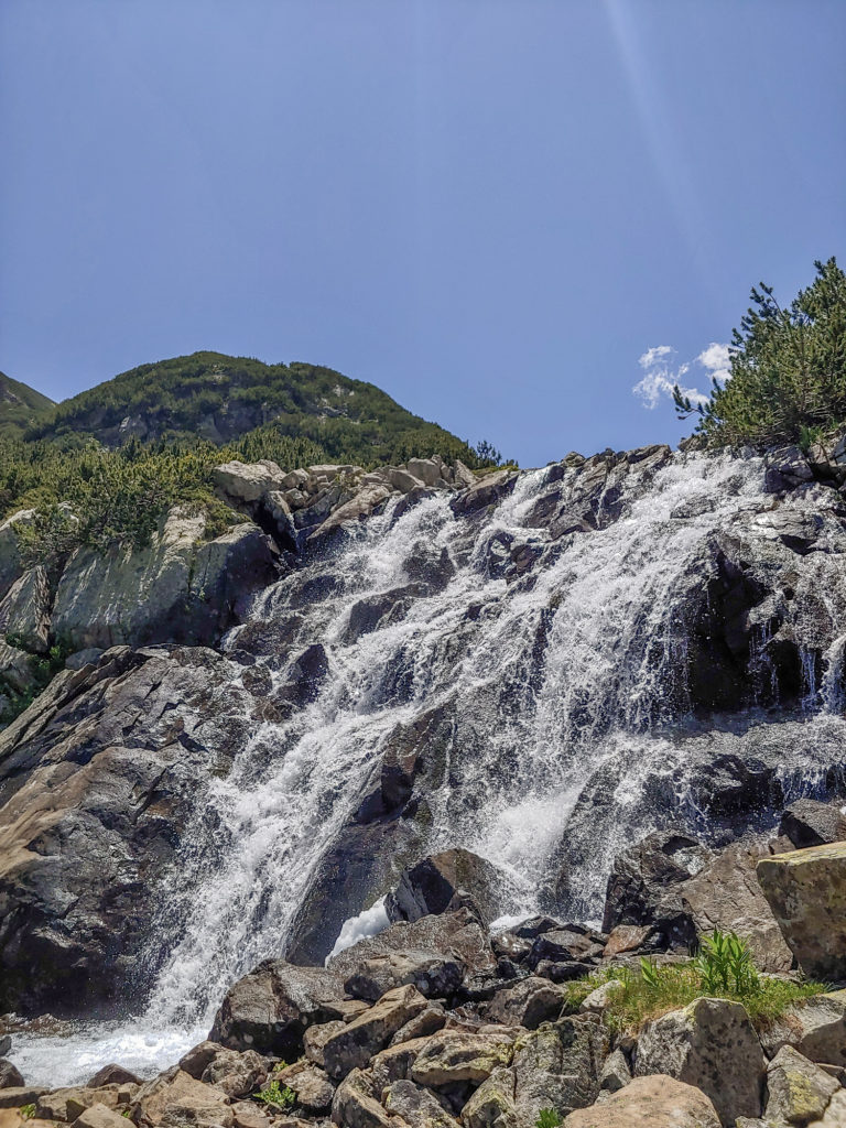
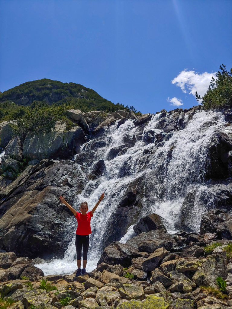
The hiking trail from Bezbog Hut to Popovo Lake would take you to its northern side. Follow the trail by the shore to get to the eastern side where the small Retitzhe River begins as a stream from the Popovo Lake. Follow the speedy cascades in between the rocks and down the terrain. Trust your instinct and continue after the sounds of the roaring water. The small river cascades transform into a beautiful 10-meter waterfall that you can find to the right of the hiking trail. Do not be afraid, you cannot get lost, you are just embarking on an adventure and you can only find something special and unique.
By Car
Baikushev’s Pine
Baikushev’s Pine is one of the oldest trees in the world and Bulgarian’s oldest coniferous tree. Despite being discovered only 130 years ago, the tree is more than 1300 years old! It was named after the person who found it – a Bulgarian botanist by the name of Kostadin Baikushev. If you think this is an extraordinary name, most Bulgarians will agree! The tree is 26 meters in height, 2.2 meters in diameter, and it is just next to the small road between Banderitsa and Vihren Huts. No hike is required because you can just drive by the tree, stop for a few minutes and climb up the wooden stairs to get a closer look at one of the oldest trees in the world!
I have been five times to Pirin National Park and there is still so much more to see and explore. Pirin might be rocky, harsh, and rough, but it is also peaceful, beautiful and serene. The crystal clear glacier lakes, the marble peaks, the flawless natural beauty, and the breathtaking scenery will all make you fall in love with the Pirin Mountains!
I am sure that I will be back again for even more adventures, so stay tuned!
Did you get inspired to visit Pirin National Park as well? If you are lucky enough, Bansko might just be one flight away!
Top 10 Bansko Summer Activities
Skiing in Borovets
You May Also Like
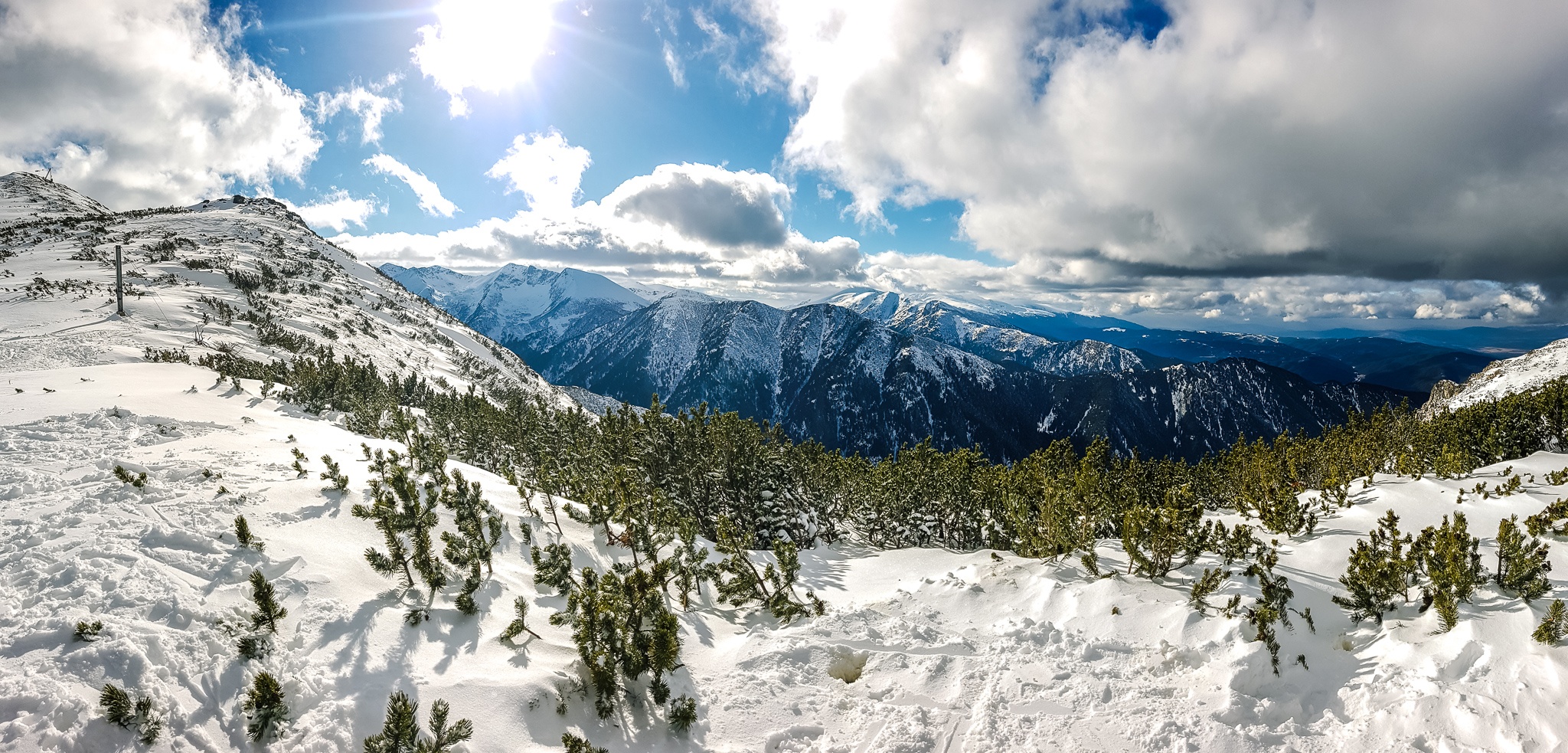
Skiing in Borovets
February 15, 2020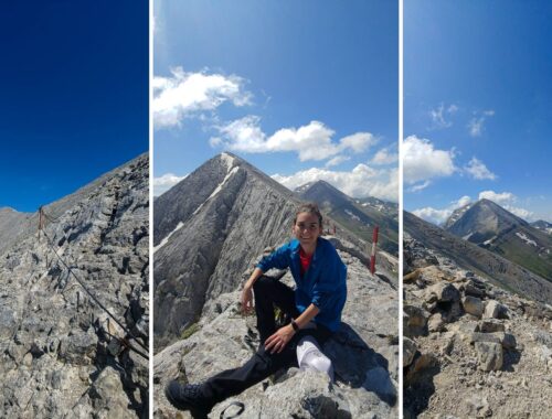
Hiking Koncheto Ridge – Once-in-a-lifetime experience in Pirin Mountains
August 30, 2021



7 Comments
World of Lina
Omg wow! Didn’t know Bulgaria’s landscape is sooo stunning 😍
Polly Dimitrova
It really is and there are quite a few mountains in addition to Pirin that can be visited.
SEO Reseller
Awesome post! Keep up the great work! 🙂
Ghulam Mohyudin
It was perfect the first time. I learn so much from you as well! Keep it up great post.
Albert Torres
An incredibly detailed guide. Thank you so much for this post. I hope to visit these beautiful places someday.
Marina
Thank you for sharing! Is it easy to navigate the treks, are the trails marked, or you had to follow a GPS track?
Polly Dimitrova
I am happy that you found some useful information about the trails.
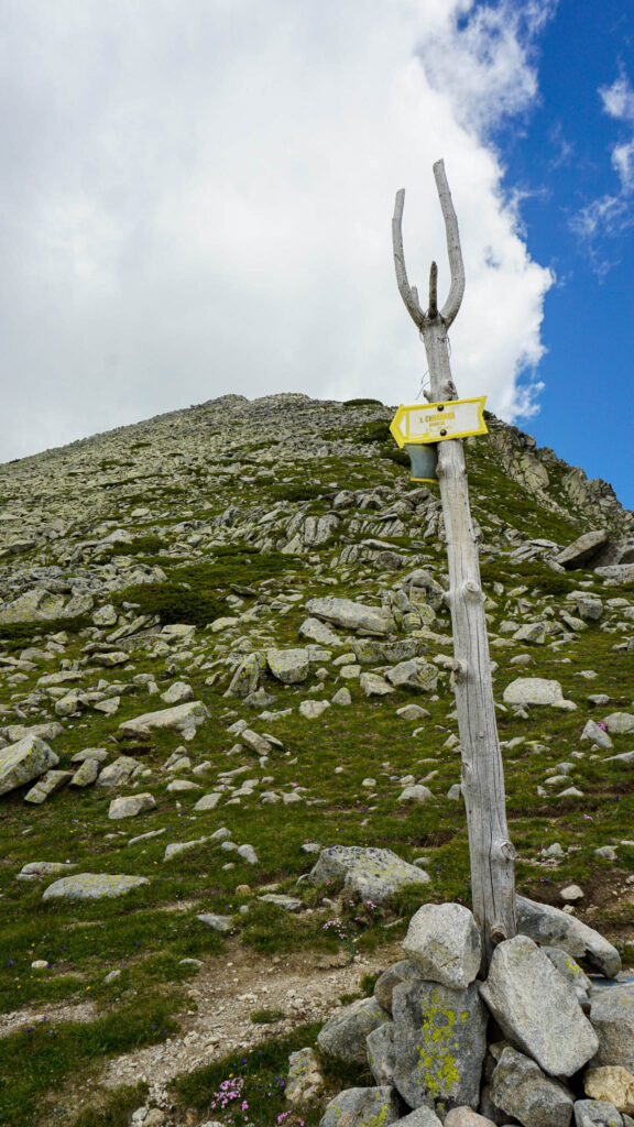
Yes, most trails are marked quite well. You will find at the beginning of the trails little signs, which often also advise of the duration you would need to reach your destination.
The most common signs along the way are painted over stones and trees. They present 3 horizontal lines (the border ones are always white and the one in the middle is in a color of red, blue, green, yellow, etc).
The middle color is the one which defines your destination. You should be fine without a GPS track