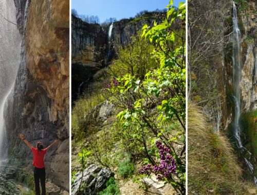
Hiking Vihren Peak – Bulgaria’s Most Magnificent Summit
Last Updated on August 30, 2021 by Polly Dimitrova
Planning a trip to Pirin Mountains and want to hike up to some of the most spectacular summits? Then you definitely want to add the highest peak in the Pirin Mountains – Vihren to your list! With its impressive height of 2,914 meters (9,560 feet), Vihren is also the second-highest summit in Bulgaria. Keep reading to learn everything about hiking Vihren Peak – Bulgaria’s Most Magnificnet Summit!
Vihren Peak Trail
Route: Vihren Hut – Vihren Peak – Vihren Hut
Starting Point: 41.756715, 23.416217
Peak: 41.767162, 23.3989783
Distance: 7.5 km (4.6 miles) roundtrip
Elevation Gain: 960 meters (3,150 feet)
Duration: 7 hours round trip
Navigation: Red Trail Marks
Difficulty: Moderate
While there are a number of different hiking paths to choose from, I suggest taking the trail from Vihren hut to Vihren peak as the easiest and most convenient one. Located at an altitude of 1,950 meters, the chalet can be reached by car along the 16 km asphalt-road from Bansko. Make sure to get an early start of your day as during the busy summer weekends, the road might be closed to vehicles between 08:00 – 16:00. Being at the chalet by 7:00am would also give you a much higher chance to find a parking space at the small, free parking area just in front of Vihren Hut.
Make sure to fill your water bottles as the trail to Vihren peak starts here. Follow the red trail marks for a moderate ascent along the rocky path. That first part of the trail winds through dwarf mountain pines and the wonderful glacially-sculpted moraine rocks. In about 20 – 30 minutes, you will reach a little rapid stream. The path splits in two directions. You would have to take the left for the Southern approach to Vihren Peak. The path to the right is the Northern approach to the summit, but this is going to be our route for the way back down.
The second part of the hiking path continues uphill for another 30 minutes before you reach a wide open mountain meadow. This is a good spot to take your first break; break out some early hike snacks and look around as the panoramic views are worth soaking up.
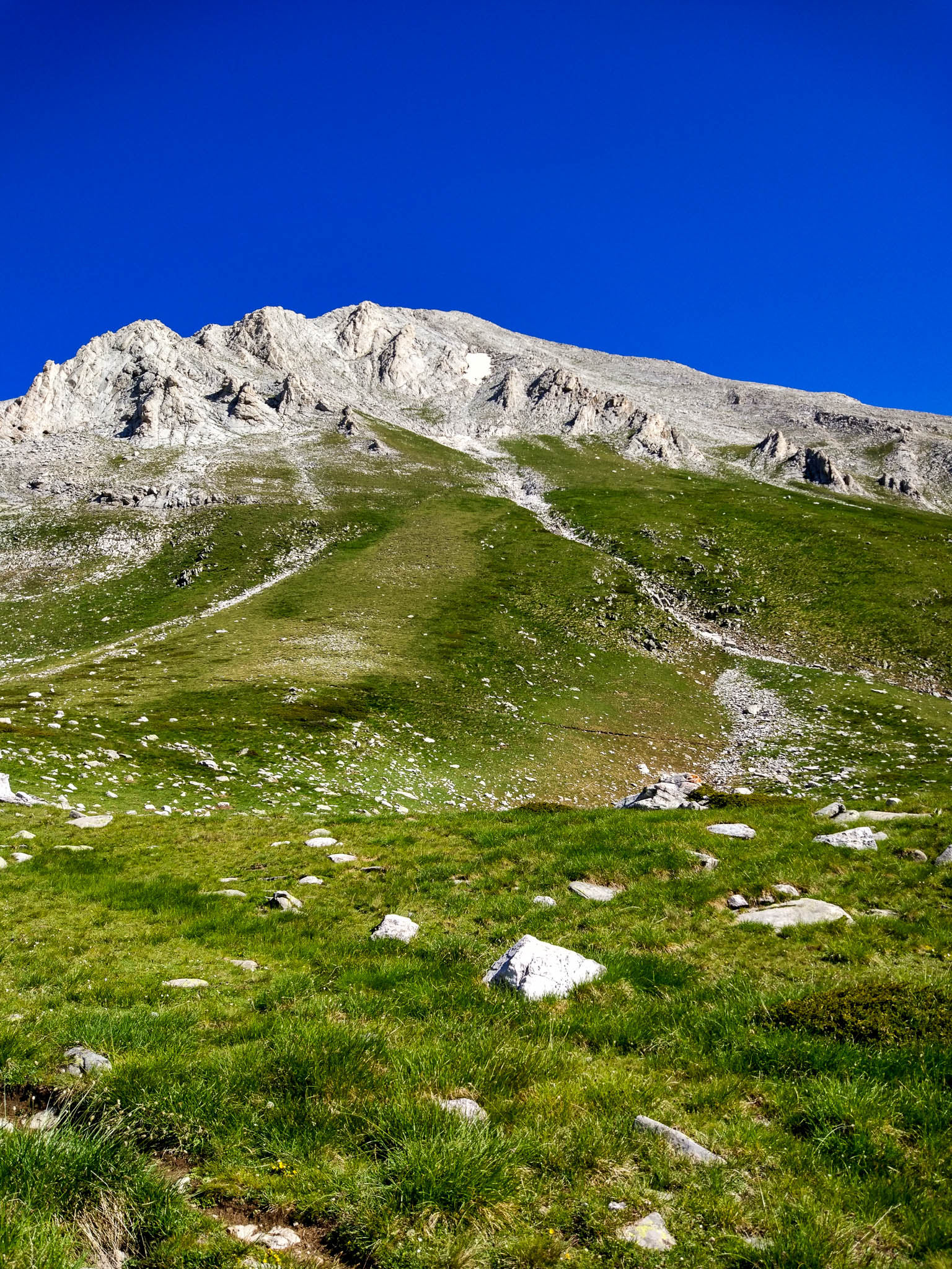
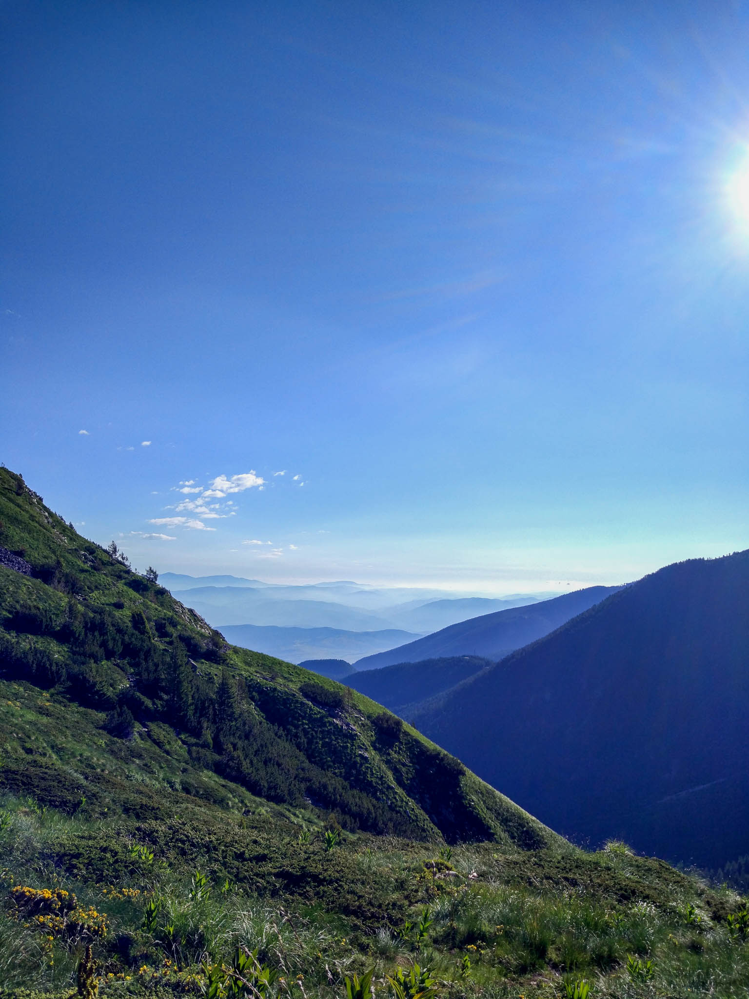
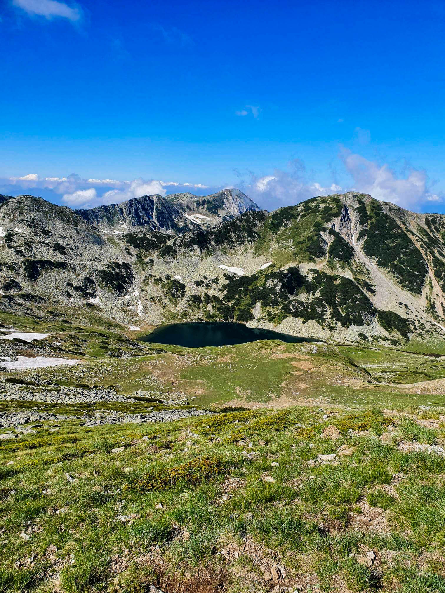
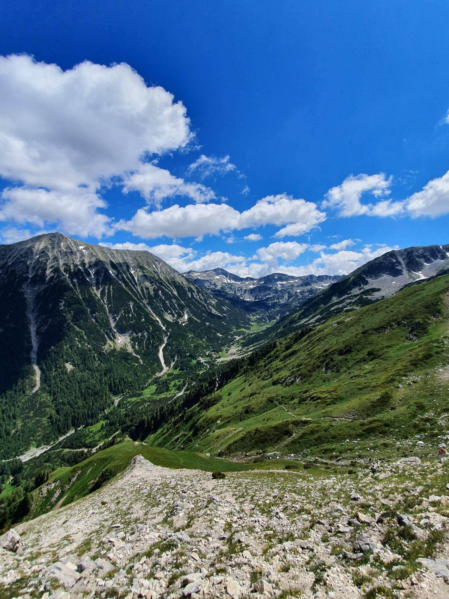
Be prepared for a steady climb over the next hour. At the end of this part of the trail, you would reach a saddle called “Kabata”. A completely new, yet equally incredible scenery unfolds before your eyes with the blue waters of one of the Vlahini lakes sparkle under the sunlight in the distance below.
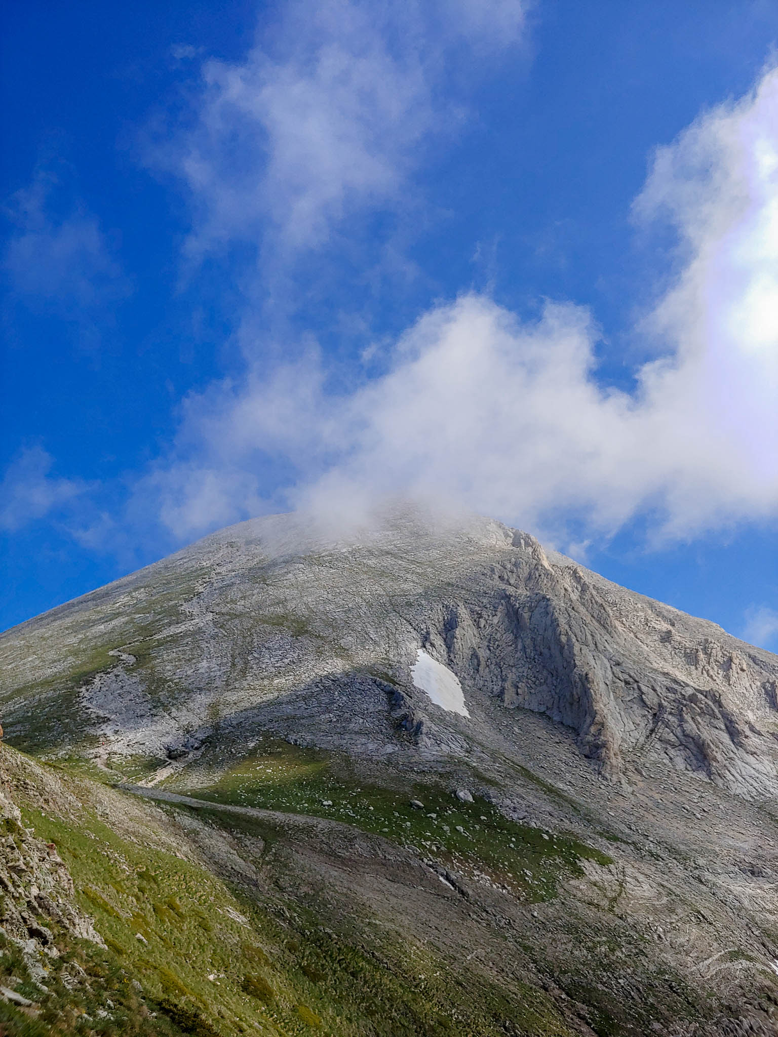
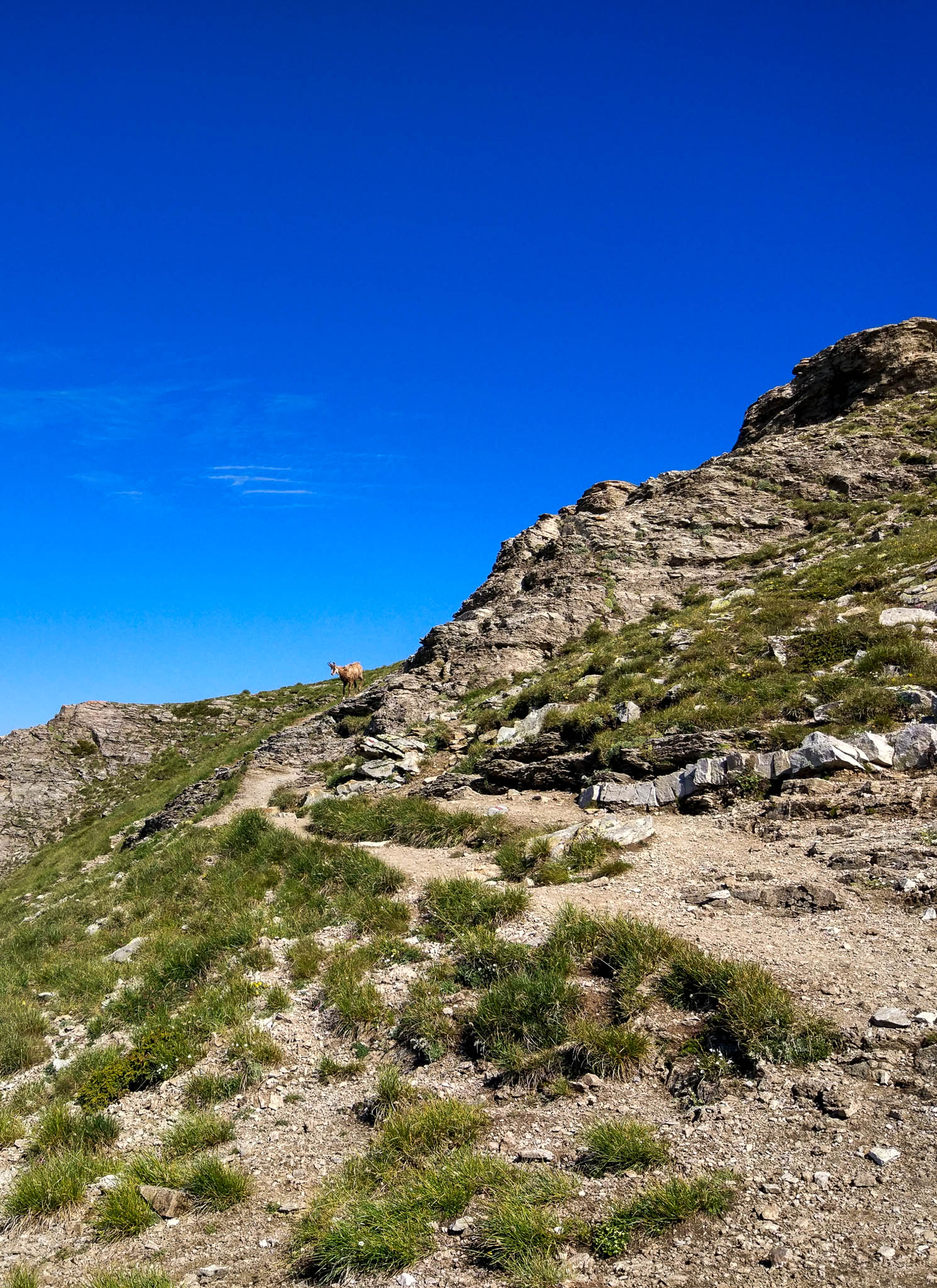
Take a breather here as the most challenging part of the trail awaits you. It takes 40-45 minutes to scramble to the very top as you are trying to find your way through the marble rocks. I would say that there is no path at this section of the hike to Vihren Peak, you just have to make your way to the top through the rocks. Be extra careful, especially on rainy days, since the rocks can be particularly slippery.
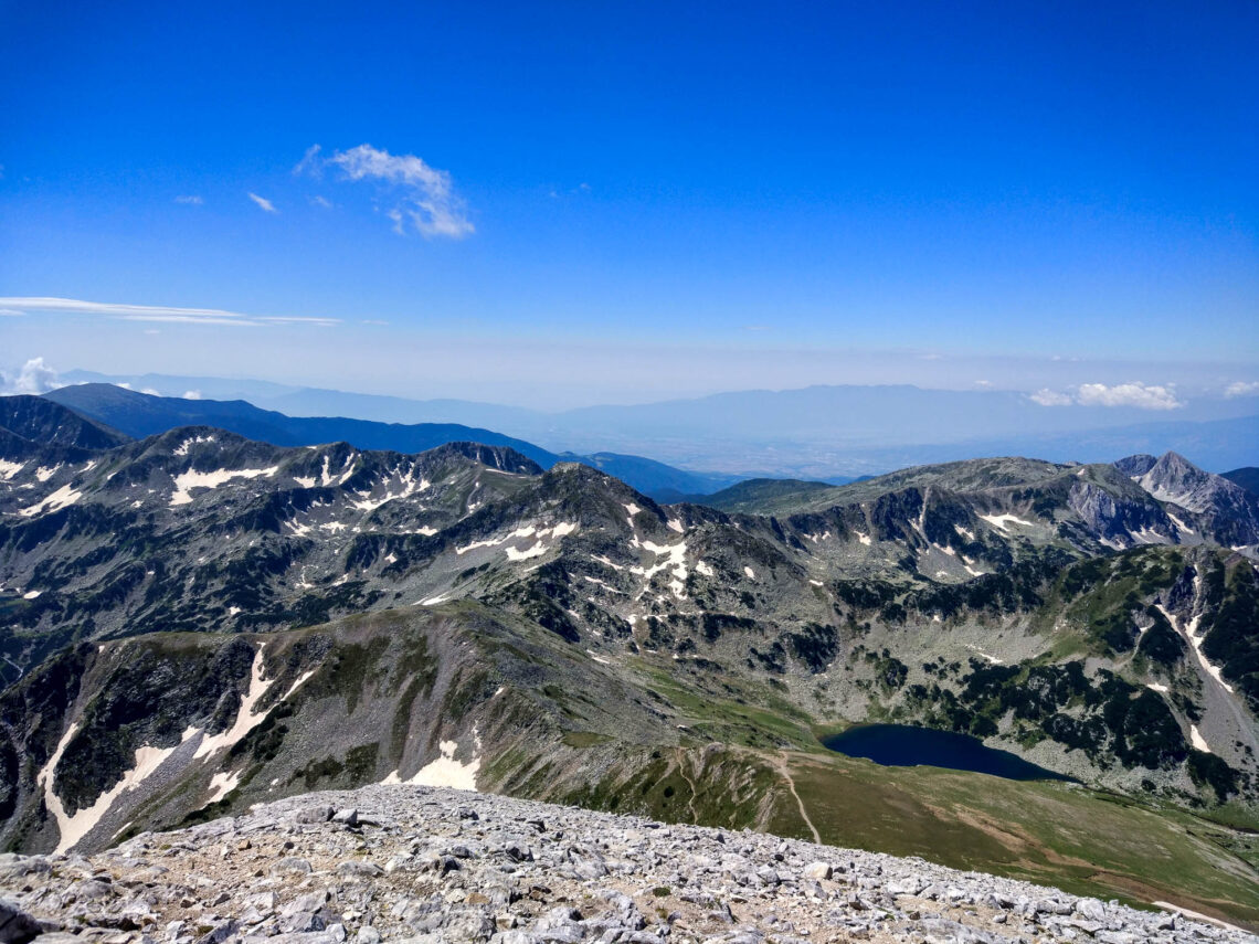
Keep on your feet, scramble on all fours, however, you want to make it, keep on going! Before long you will find yourself triumphant atop the second highest peak in Bulgaria! While you might find yourself inevitably taking out your phone or camera for the compulsory photos, do not forget to stop for a second and take in the beauty of Mother Nature. While rocky, the rim is fairly wide, so you can easily go for a little walk and soak in the views from each side of the summit. You will not only see the other remarkable peaks of the Pirin Mountains, but in good weather, you can even catch a glimpse of the incredible Rila Mountains in the distance as well.

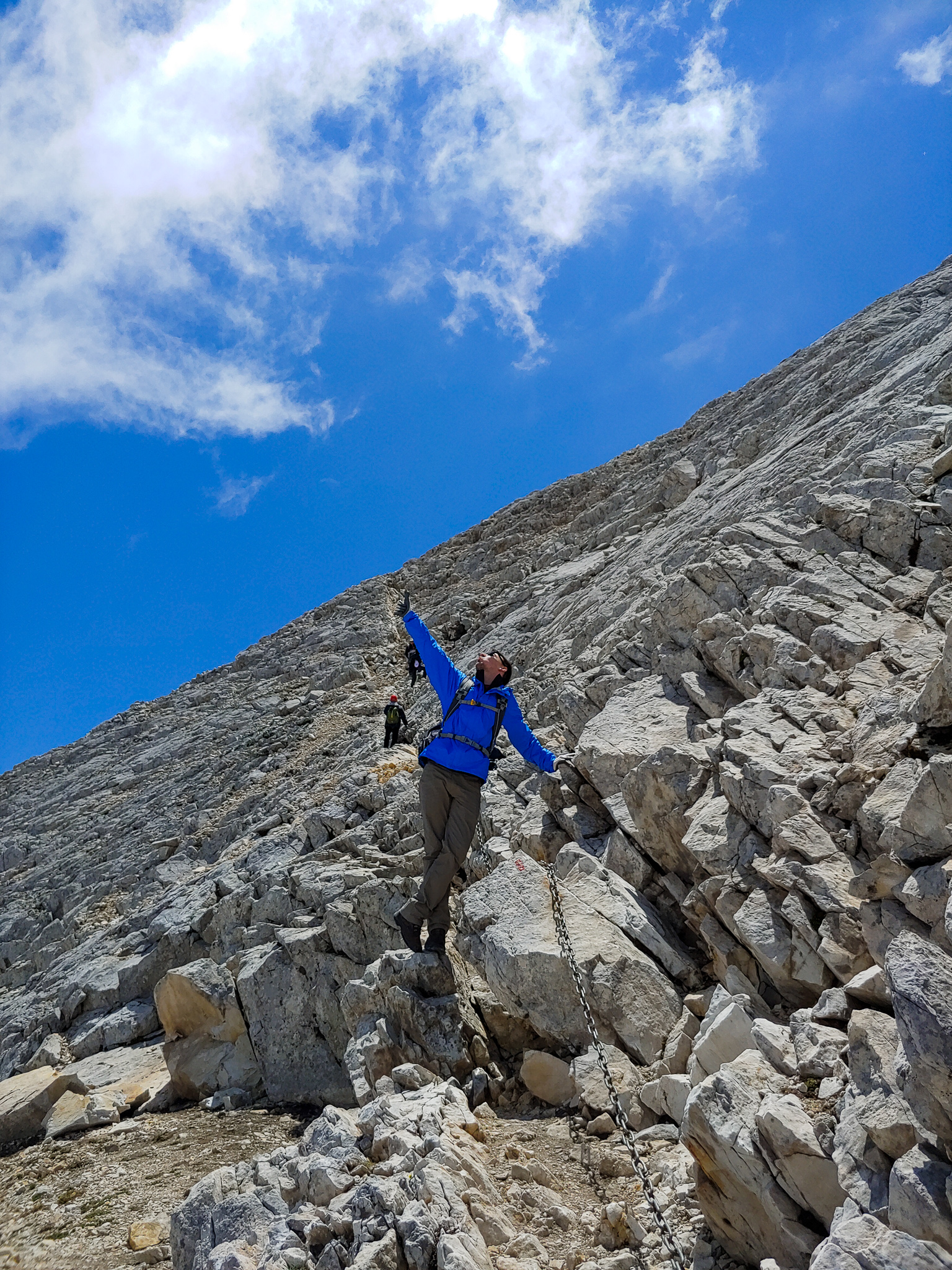
You can definitely take the same route for the way back, though if you are up for a challenge and some adrenaline rush, I strongly recommend the Northern trail for your way down.
On this side, Vihren Peak is covered in large marble rocks and the way down is a real adventure! There is a metal chain to help with your descent, which is a huge help especially considering how slippery the rocks are even in dry weather. I love adventures and challenges, but if you are a non-experienced hiker I do not recommend taking this trail for the way down.
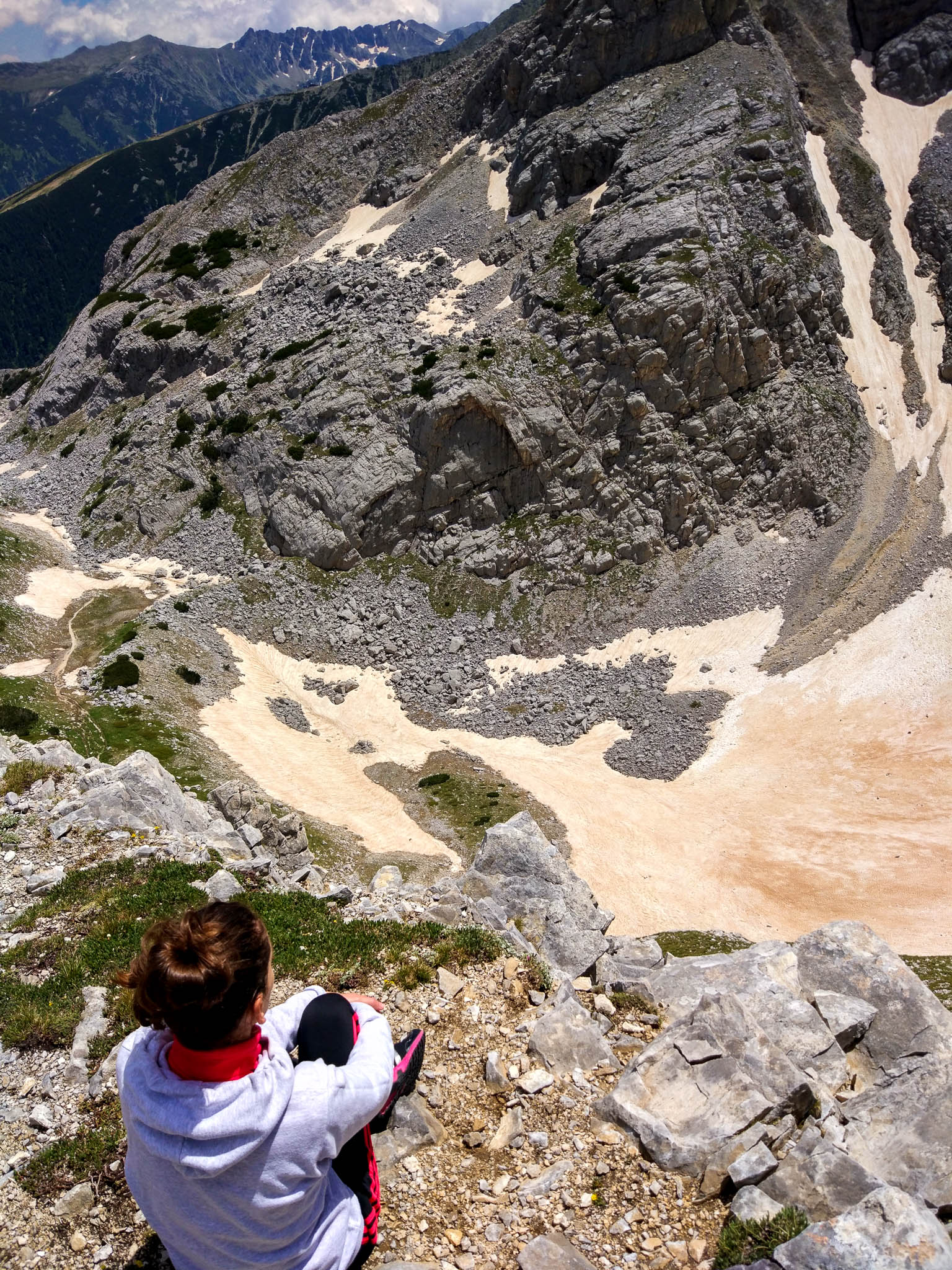
Approximately 40 minutes later, the trail will begin to widen and become less rocky before unloading you into the popular Premkata saddle, which connects Pirin’s two highest summits – Vihren and Kutelo. If you are not too tired yet, continue further down the trail and take a short break in the open meadow named “The Cauldrons” on the right; the area refers to two massive glacial cirques. Sit on the edge and enjoy an incredible view of the Snezhnika Glacier located in the larger cirque. It is also worth knowing that Snezhnika is Europe’s southernmost glacier and it is at least 500 years old!

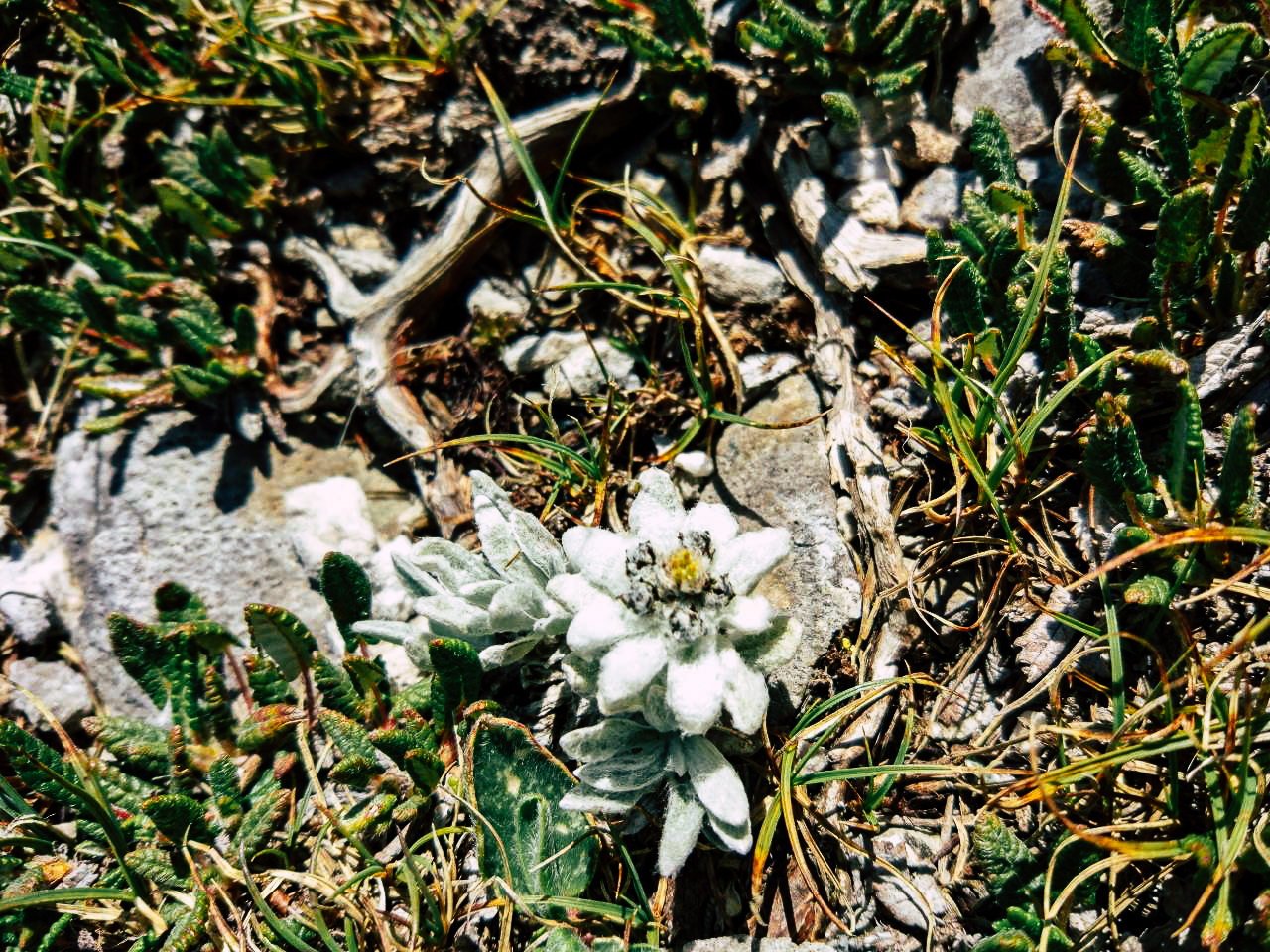
You will also find tiny Edelweiss flowers hidden between the rocks here. Feel free to admire them, but keep in mind that the Edelweiss is a protected flower in Bulgaria and it is part of the Red Book for endangered species.
The hiking part then continues to another steep rocky descent. On this side of the summit, you can find many parts of the route still covered in snow even during the summer months. You might be forced to take a detour through some extremely steep rocky parts, so approach this part of the hiking path with caution. I have found bringing a pair of gloves to be extremely helpful here!
Approximately 30 – 40 minutes later, you will reach the point where the trail splits into two directions. The green route to the left will take you to Bunderitsa hut while the red path to the right will return you to Vihren Hut. Continuing back towards Vihren Hut, the next section is relatively easy; there are only 2 or 3 spots where the trails disappear between the large rocks though it is not difficult to find your way.
After another 20 minutes, you will find yourself standing on top of the Dzhamdzhiev Rid. This is an extremely challenging alpine route, but luckily we are just crossing it over for the last part of the trail down.
Even though the distance to Vihren hut from here is slightly more than a kilometre, it takes more than an hour to get back. The path looks flat and easy, but a few sections of the trail are covered with sharp rocks and screes which make it more challenging than you would initially think. Combined with an entire day of hiking, the route back seems endless. I suggest taking additional breaks as needed, though try to keep a good, steady pace while hiking down. You might start feeling pain in your knees and thighs, but the remarkable views are still here to cheer you up. On your left, Todorka Peak dominates the skyline and the little Vihren hut is nestled at the foot of the alpine summits.
Once you reach the little stream again, you will know that you have another 20 minutes to get back to the chalet. You already know this section of the trail, but do not lose caution until the very last step.
Once back at Vihren Hut, stop for a second to reflect on your day full of adventures while sipping on a warm cup of mountain tea with a dash of rum or a large bowl of delicious Bulgarian bean soup.
Let me know down below, have you been to Pirin Mountains? If you have tried hiking Vihren Peak, what was your favorite part?
If you have not yet, what are you waiting for?! If you are lucky, Pirin Mountains might just be one flight away!


You May Also Like
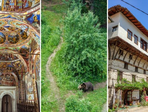
Top 10 Day Trips from Bansko

Bulgaria in Photos